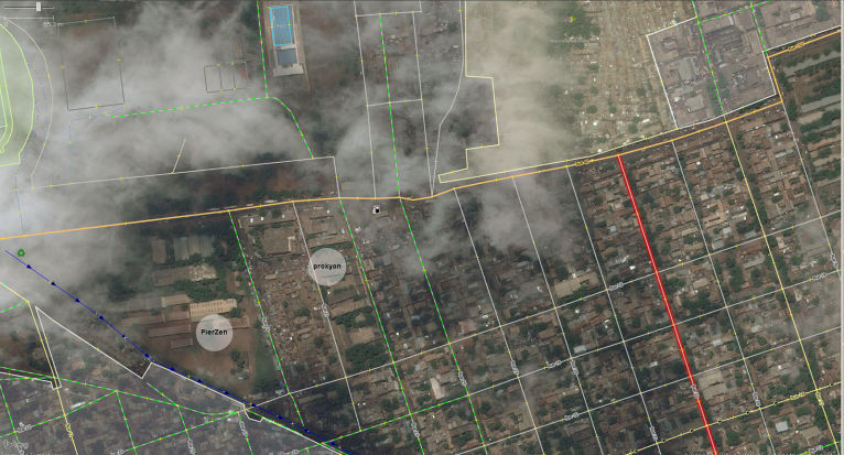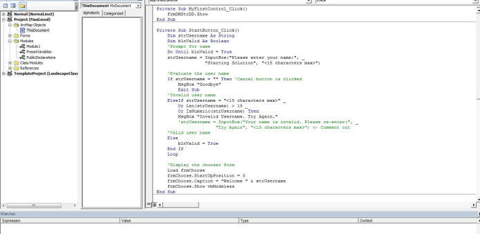
At IFMI, we have the knowledge and resources to help with all your mapping needs. We can create custom internet mapping applications, mobile applications, google mash-up's, even custom applications for GPS units and toolboxes for field work.

At IFMI, we have the knowledge and resources to help with all your mapping needs. We can create custom internet mapping applications, mobile applications, google mash-up's, even custom applications for GPS units and toolboxes for field work.
We have the ability to create 3D models in ESRI, Road Eng and Open Source solutions to create a custom application or map for your needs. Some example include: Estuary management, to forestry View sheds and complex drive by's and Visual Impact Analysis.

Made with Mobirise - Get now